
Back to the workbench
Concept

From map to measurement.
An imagined workspace for tracing a boundary, comparing distances and converting coordinates without losing sight of the terrain.
Parcel lab
Click the map to place at least three corners. Use arrow keys and Enter to place a point with the keyboard.
Illustrative terrain · 1 grid cell = 100 m
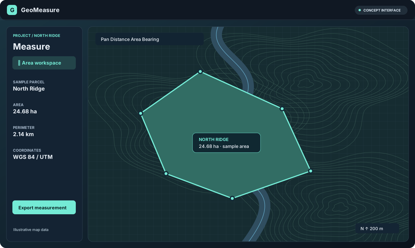
Example workflow
Sketch an area, inspect its perimeter, choose a coordinate system and prepare a shareable export.
Design questions
Map providers, coordinate accuracy and export formats are open design decisions.